
STORY 72
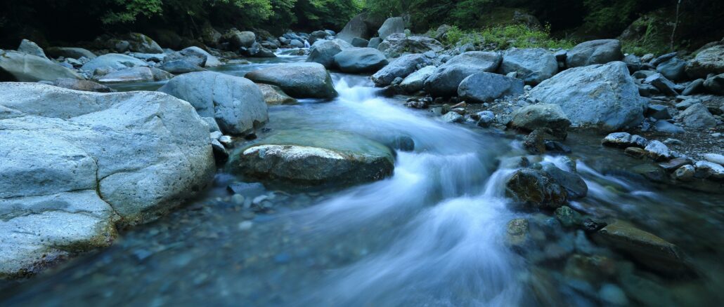
The Lourens River begins high in the Helderberg mountains, collects the rain from every kloof and ravine on the southern slopes, runs through the farms of Lourensford and Morgenster, passes under the N2 highway, threads through the industrial area of Somerset West and Strand and empties into False Bay at the Lourens River mouth the same wetland that Sheikh Yusuf looked out over in 1694 when he arrived at Zandvliet.
It is a river that has been flowing through this valley since long before anyone built anything in its path. That is the important thing to remember. The river was here first.
Somerset West and Strand were built on the Lourens River floodplain. Read that sentence carefully. Not near the floodplain. Not beside the floodplain. On it. The town grew precisely in the flat, fertile ground that the river had deposited over centuries, the same ground that was flat and fertile because the river flooded it regularly. And then the town was built, the floodplain was hardened with tarmac and concrete and buildings and the river’s capacity to absorb and spread its own floodwater was systematically reduced with every new development.
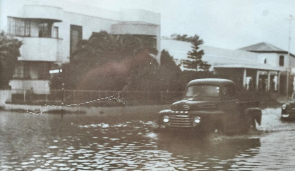
The river’s largest flood on record was in 1953. Old-timers still talk about it. The 1953/54 flood remains the benchmark that engineers still use today when modelling flood risk for the Lourens River catchment. Streets became rivers. The coastal plain between Somerset West and the sea became a lake. The communities downstream had no warning system, no flood barriers, no infrastructure designed to cope with what the mountain sent down.
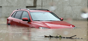
Sixty years later, history repeated. The floods of 28 August 2013 and especially 15 November 2013 caused severe damage in Somerset West and Strand. During the November 2013 flood, the flood width was 1.2 kilometres at Main Street in Somerset West. One-point-two kilometres of floodwater across Main Street. Stormwater surged down the passages of the Vergelegen Mediclinic, turning corridors into surging watercourses. The hospital had to be evacuated. NSRI crews escorted ambulances through flooded streets. Nine people were rescued from rooftops. Somerset West was declared a local disaster area.
Twenty families were evacuated from a flooded caravan park at Strand and given food and temporary shelter in a nearby community hall. An old age home was also evacuated.
It happened again in June 2023. The Lourens River burst its banks at Victoria Street, flooding the Somerset West Traffic Department and the neighbouring Eskom substation, cutting power to Somerset West, Strand and Gordon’s Bay. Tereo Community School was flooded for the fourth time in a week.
The fourth time in a week. A school. Flooding four times in seven days.
And one is compelled to ask: who plans an electrical substation on the banks of a river?
In response to the 2013 floods, the City of Cape Town implemented flood alleviation measures using a soft engineering approach that incorporated ecological principles into their design, one of the first engineer-ecologist collaborations in South Africa designed to create a self-sustaining river that requires little ongoing manipulation. The work continues. The river continues.
The Lourens has been flooding this valley since before the Khoikhoi camped on its banks. It flooded when David du Buisson farmed its mouth in 1707. It flooded when the Huguenots planted their first vines on its upper reaches. It flooded before Somerset West was a town, before the N2 was a road, before the industrial area of Strand existed.
The river is not misbehaving. It is simply doing what it has always done.
We built the town in the wrong place. The river has been trying to remind us of that ever since.
Between You and Me:
The Eskom substation on the banks of the Lourens River flooded in June 2023 and cut power to Somerset West, Strand and Gordon’s Bay. This is the kind of infrastructure decision that seems inexplicable until you remember that infrastructure decisions are made by people who are, in the moment of making them, entirely confident that the thing they are planning will work. The river was there before the substation. The river was there before the town. The river was there before the road and the bridge and the industrial area and the hospital and the school that flooded four times in a week. The river has been trying to explain this to us for three hundred years. We keep building on the floodplain and then being surprised when it floods. This is not a Helderberg problem. It is a human problem. The Helderberg is just particularly well-watered.
Historian – Harmen Bockelenberg
Next week: right next door to the Helderberg lies one of the world’s most remarkable places and most people drive past it without a second look.




Be the first to comment